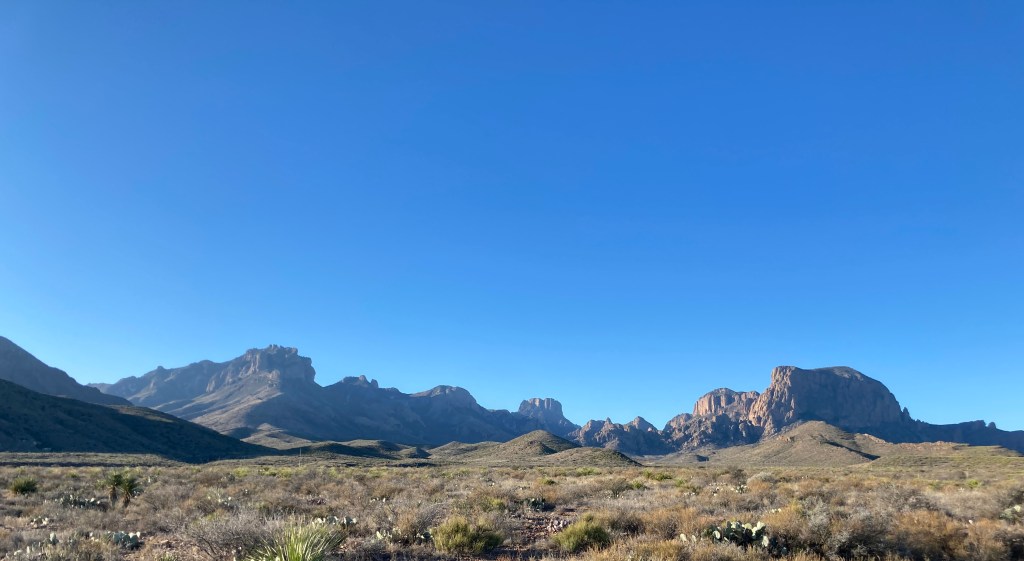
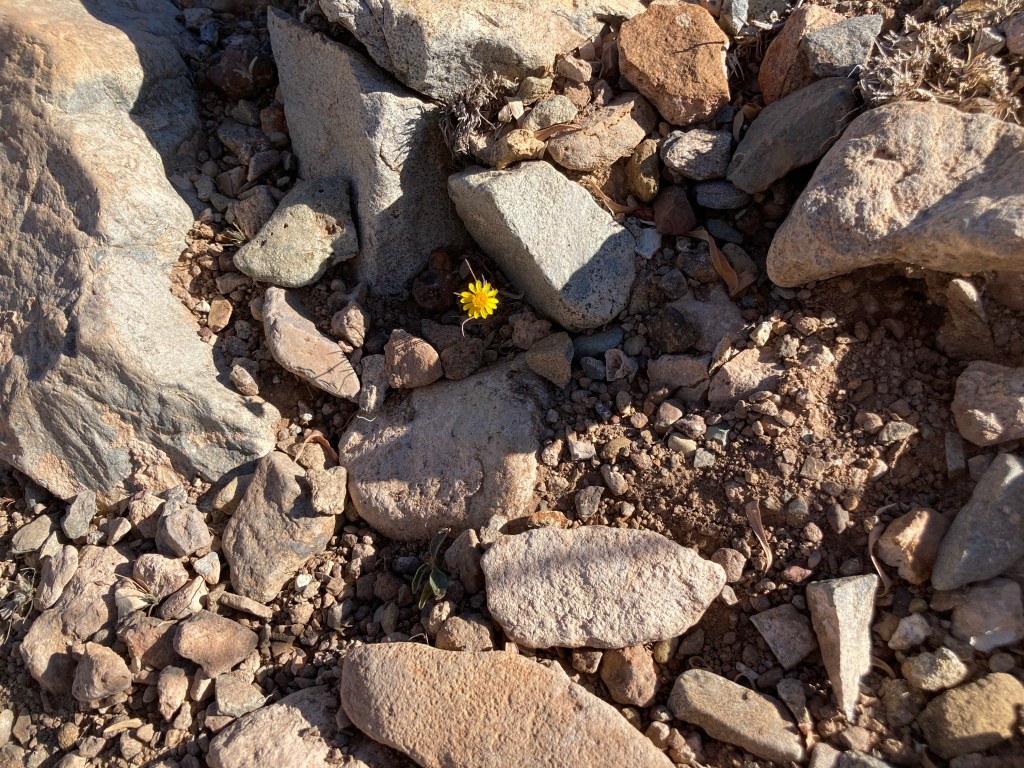
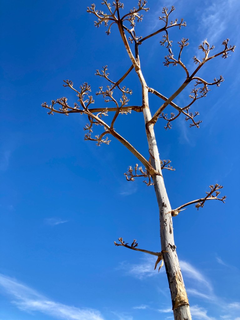
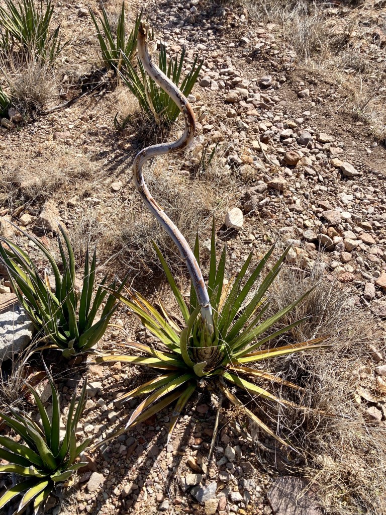
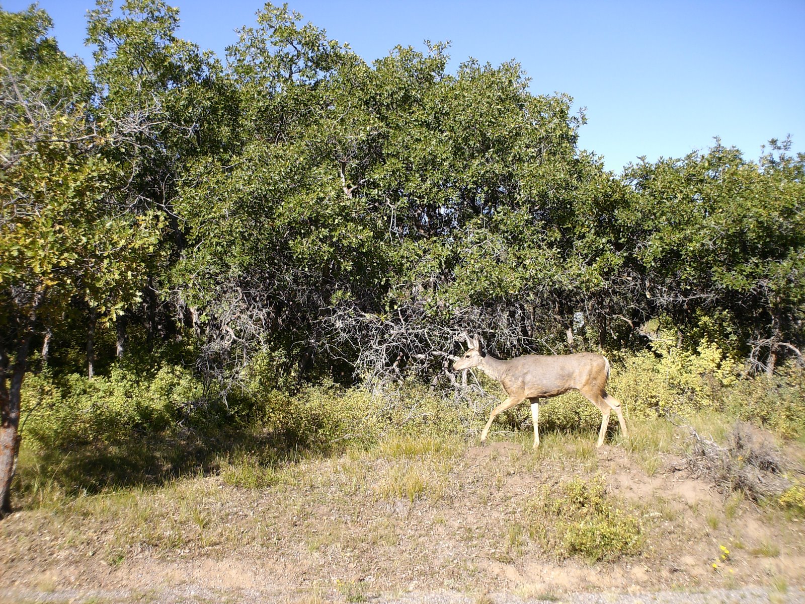
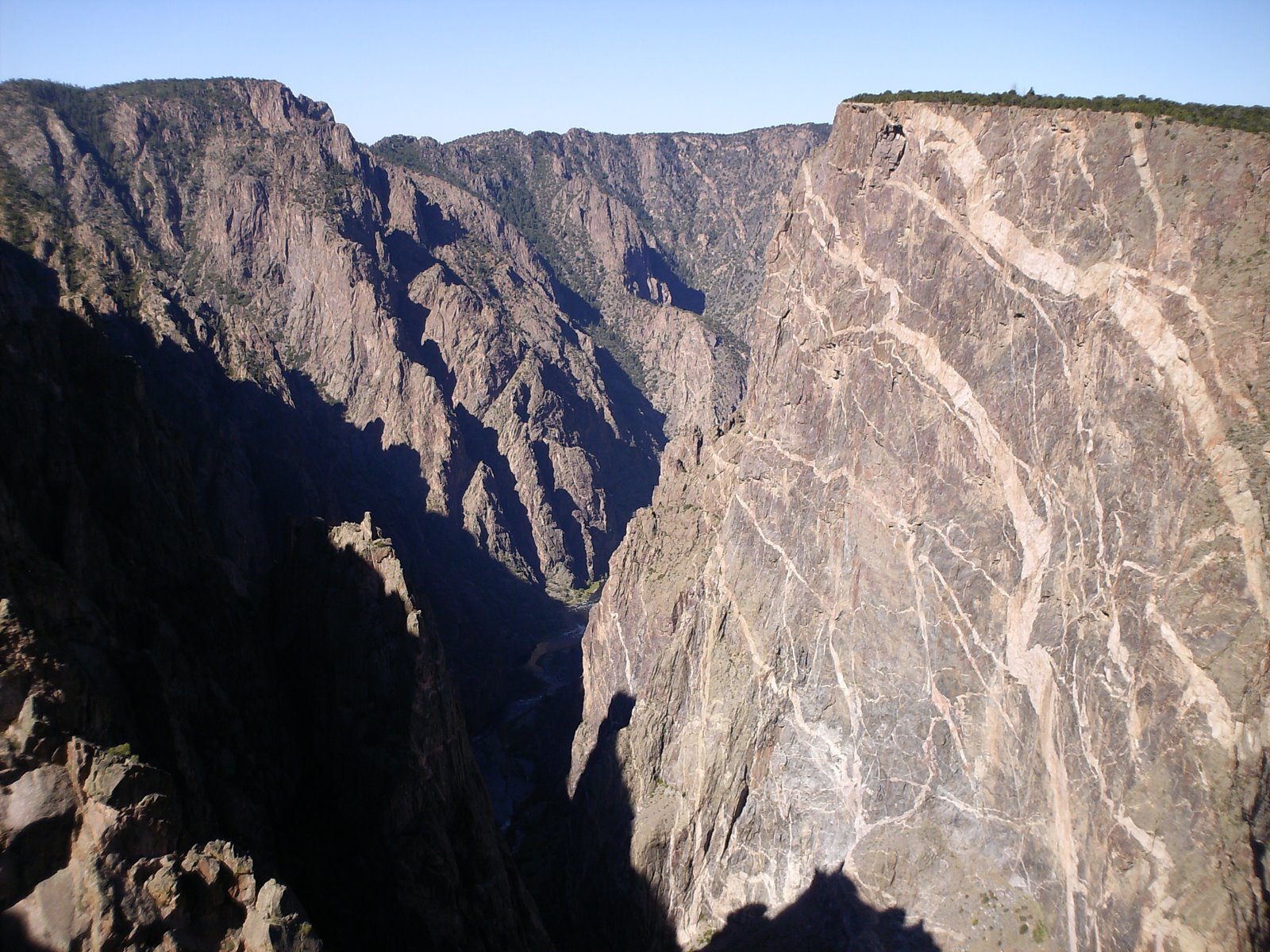
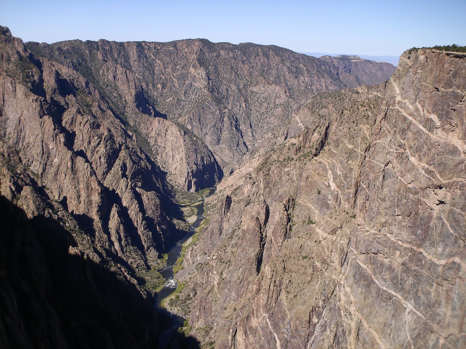
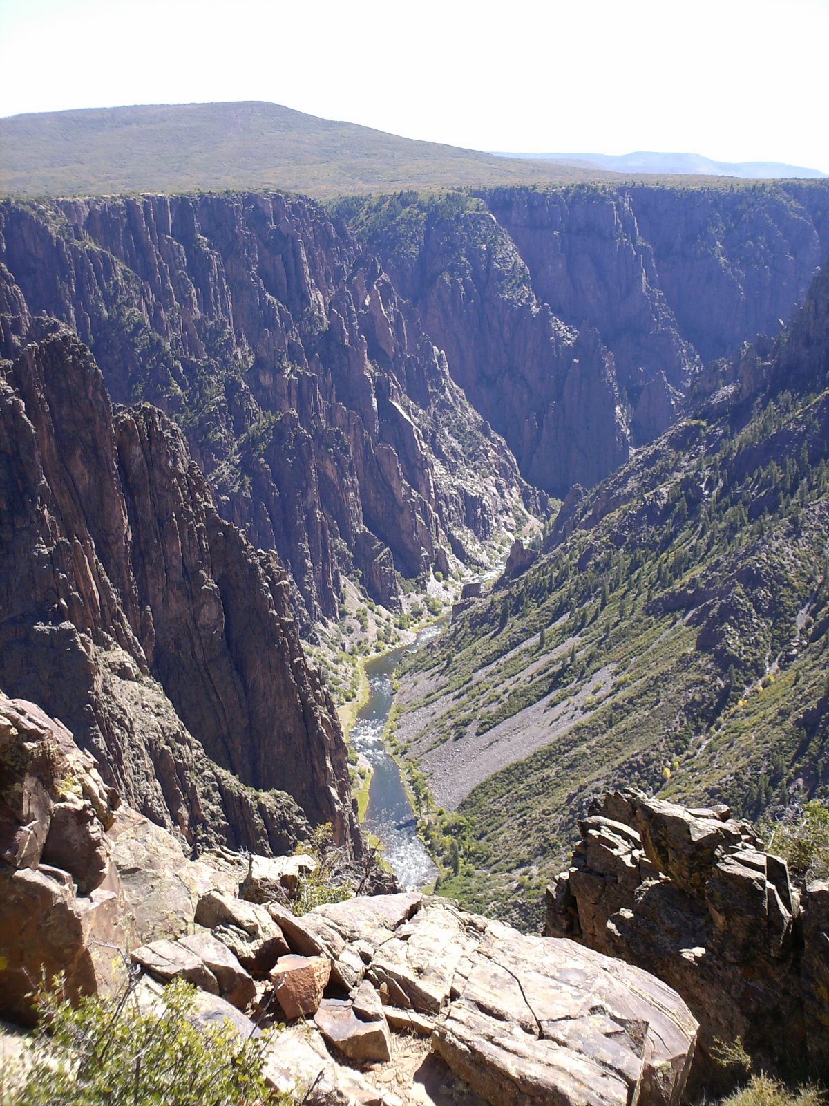
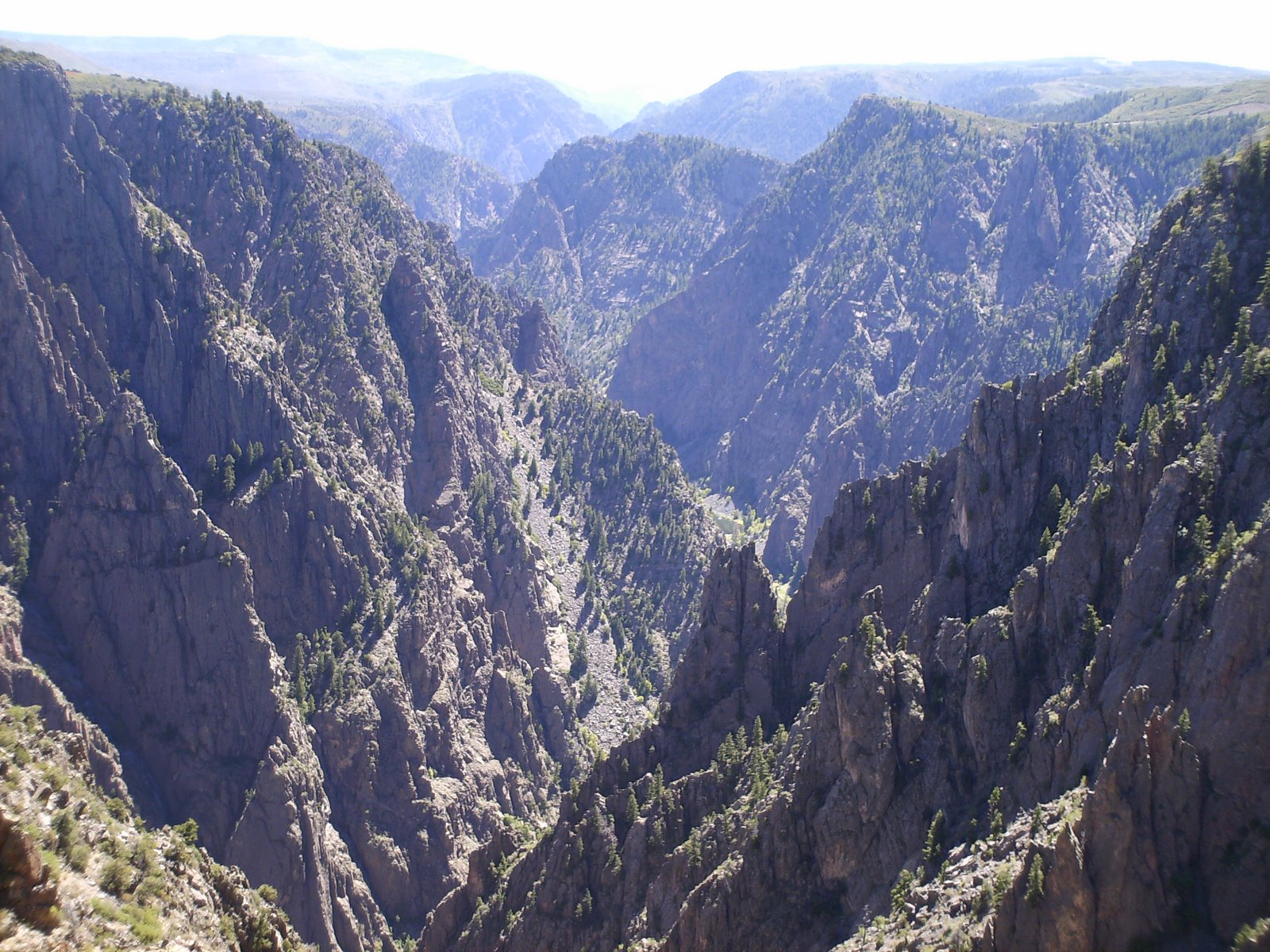
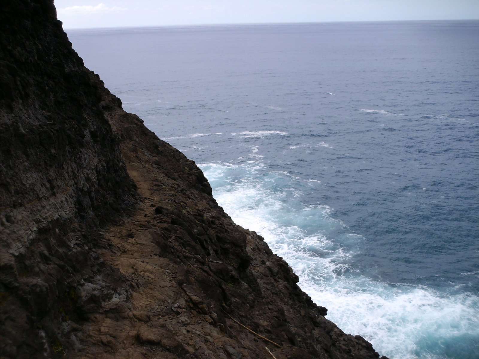
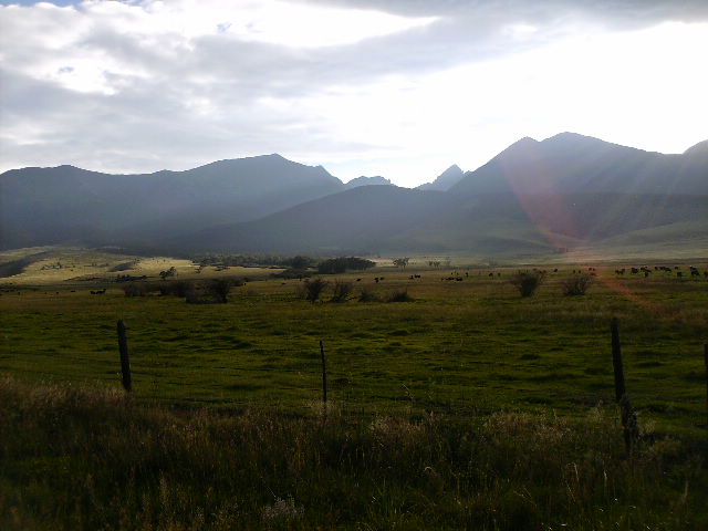
There is a place in Far West Texas where night skies are dark as coal and rivers carve temple-like canyons in ancient limestone. Here, at the end of the road, hundreds of bird species take refuge in a solitary mountain range surrounded by weather-beaten desert. Tenacious cactus bloom in sublime southwestern sun, and diversity of species is the best in the country. This magical place is Big Bend.
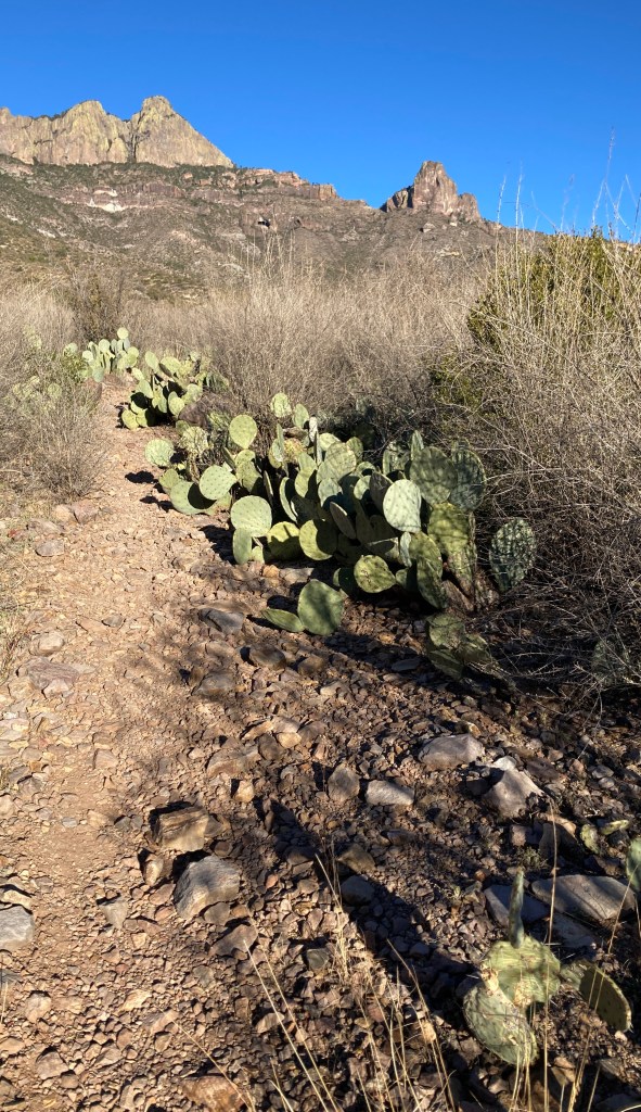
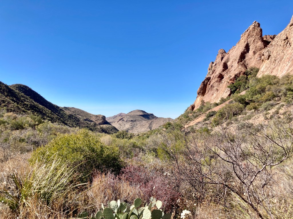
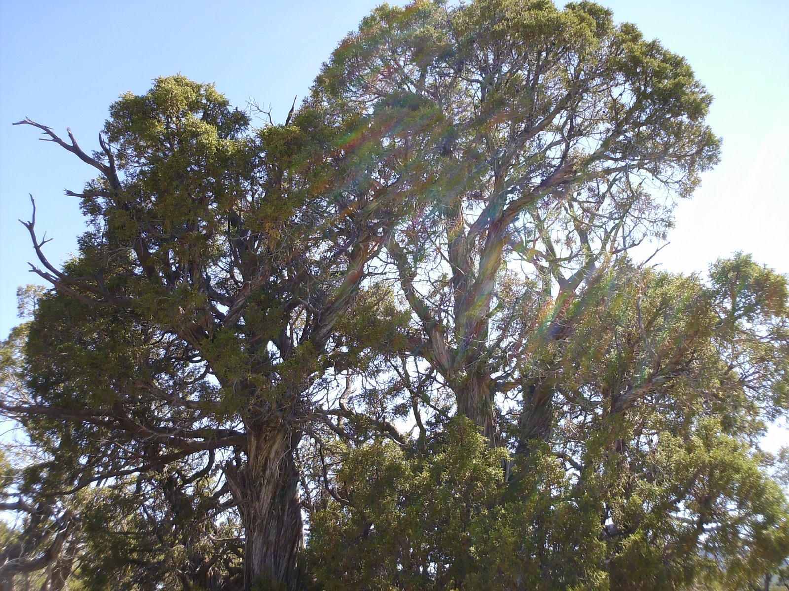
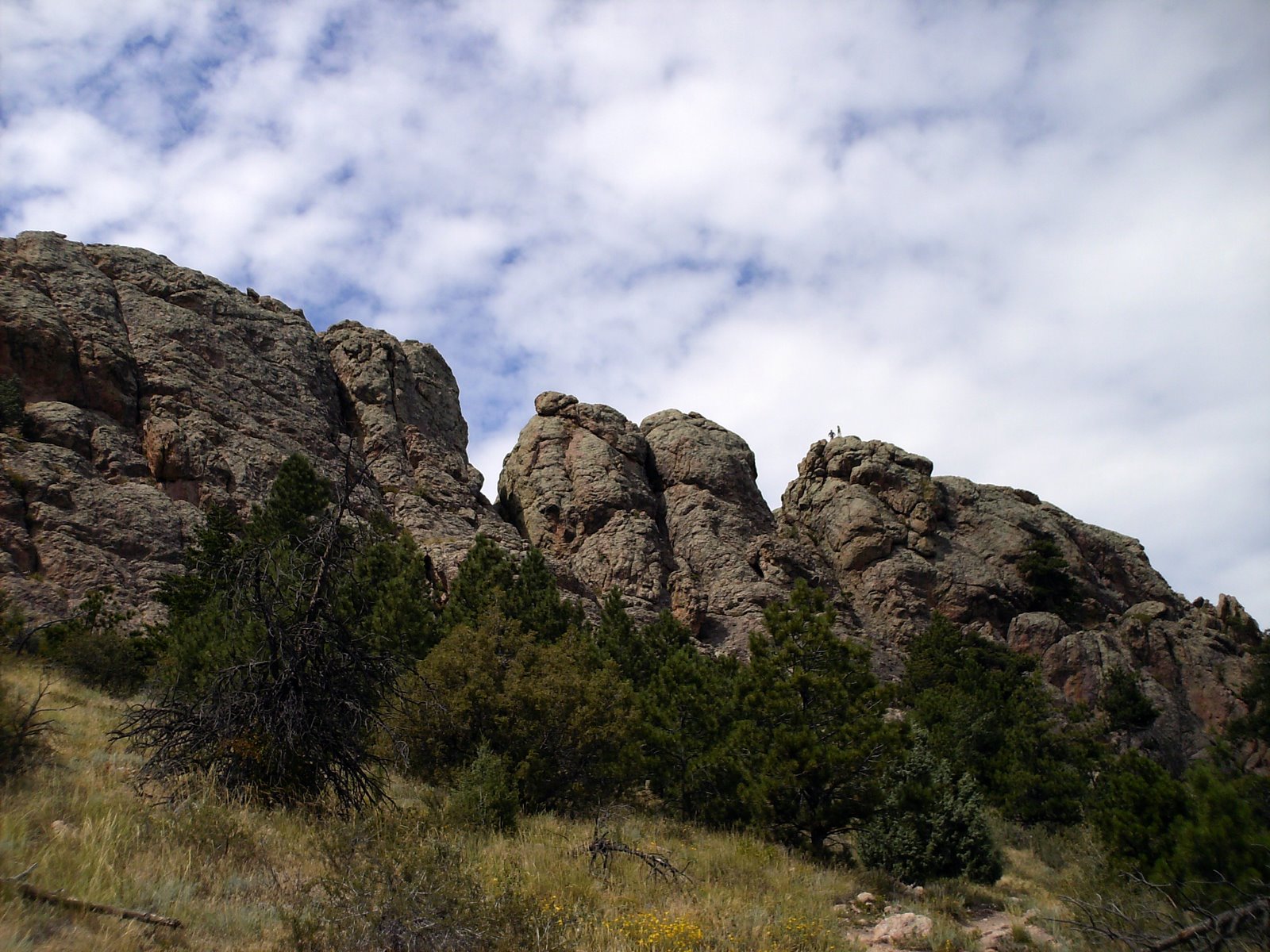
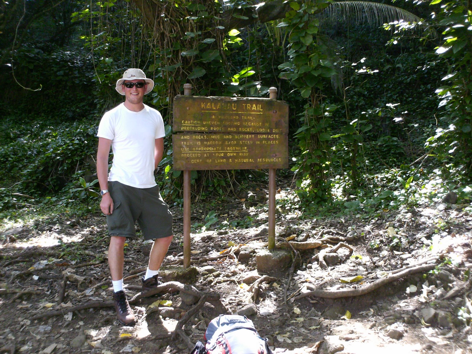
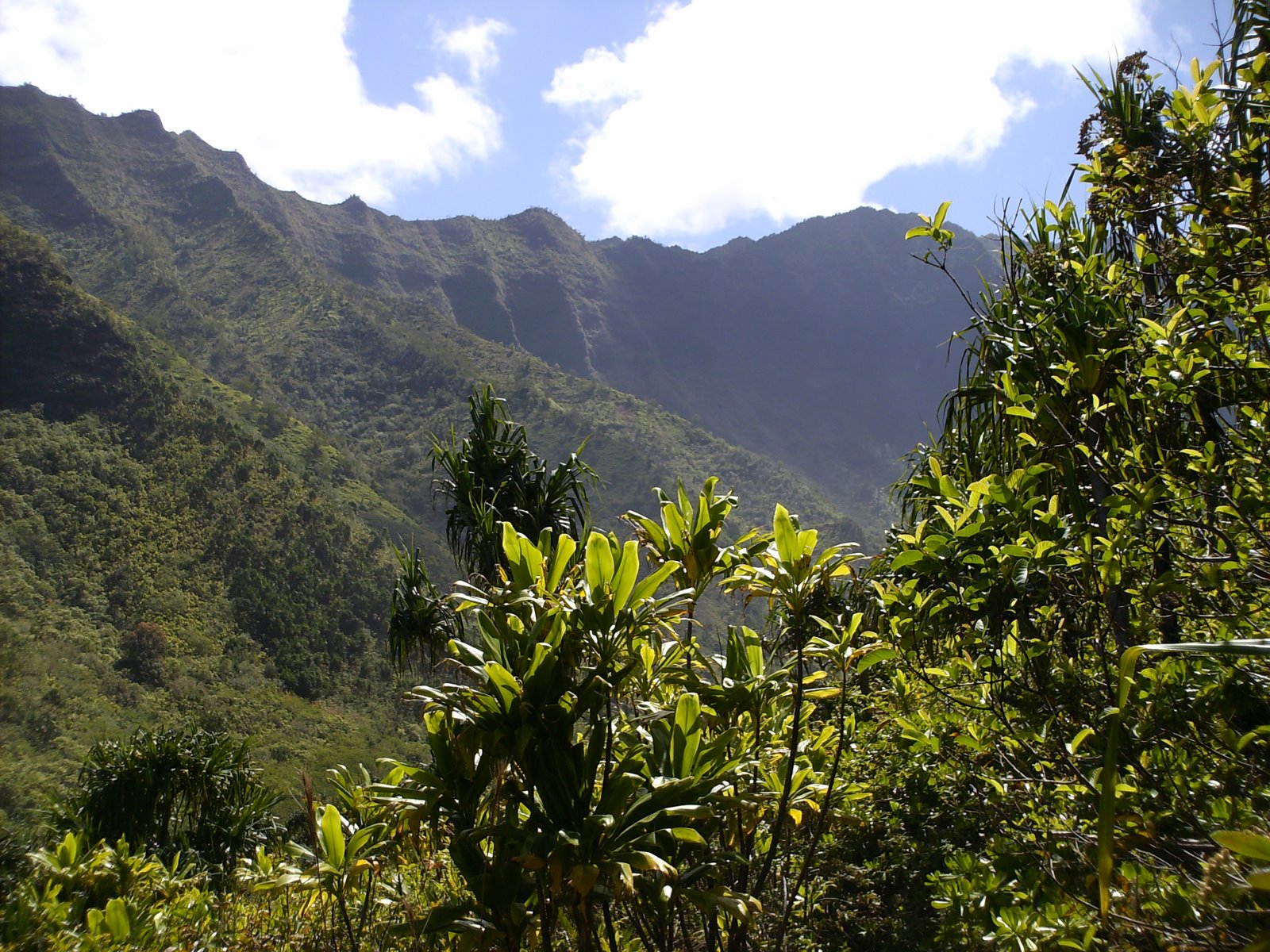
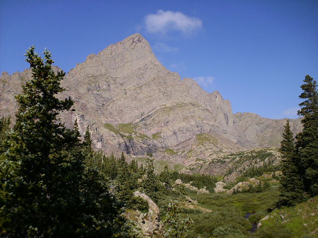
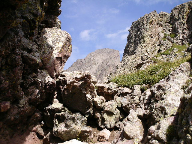
The “Outer Mountain Loop“ refers to the 30-mile circuit that combines the Pinnacles, Juniper Canyon, Dodson, Blue Creek, and Laguna Meadows trails. It includes a wide variety of habitats and scenery including, the piñon/juniper/oak woodlands of the Chisos Mountains and the surrounding Chihuahuan Desert.
NPS
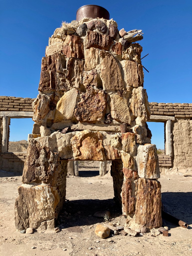
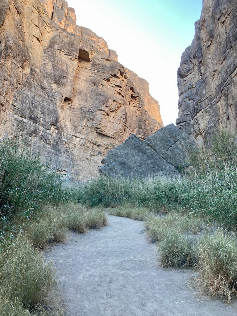
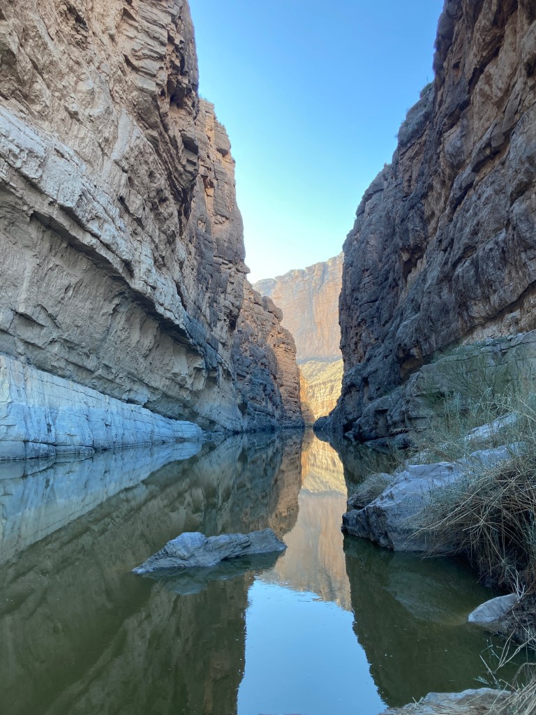
My trip began at Chisos Basin with a couple nights of camping in the campground. The day before I was to begin my hike, I got my backcountry permits from the ranger station and explored the west side of the park with hikes to Mule Ears Spring and through Santa Elena Canyon. Stops at Castalon and the Dorgan-Sublett settlement were added in between.
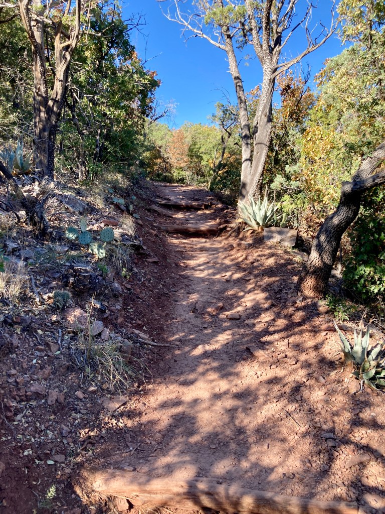
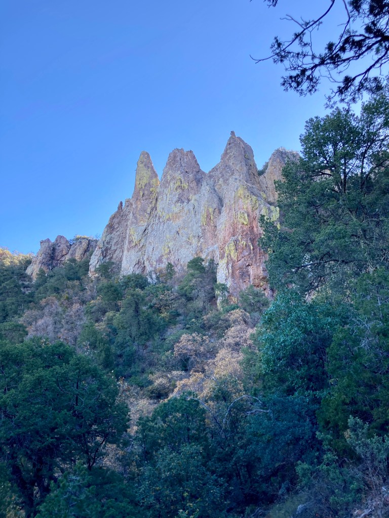
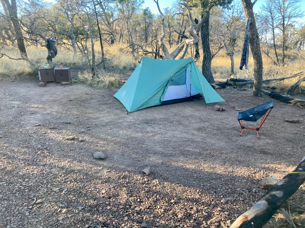
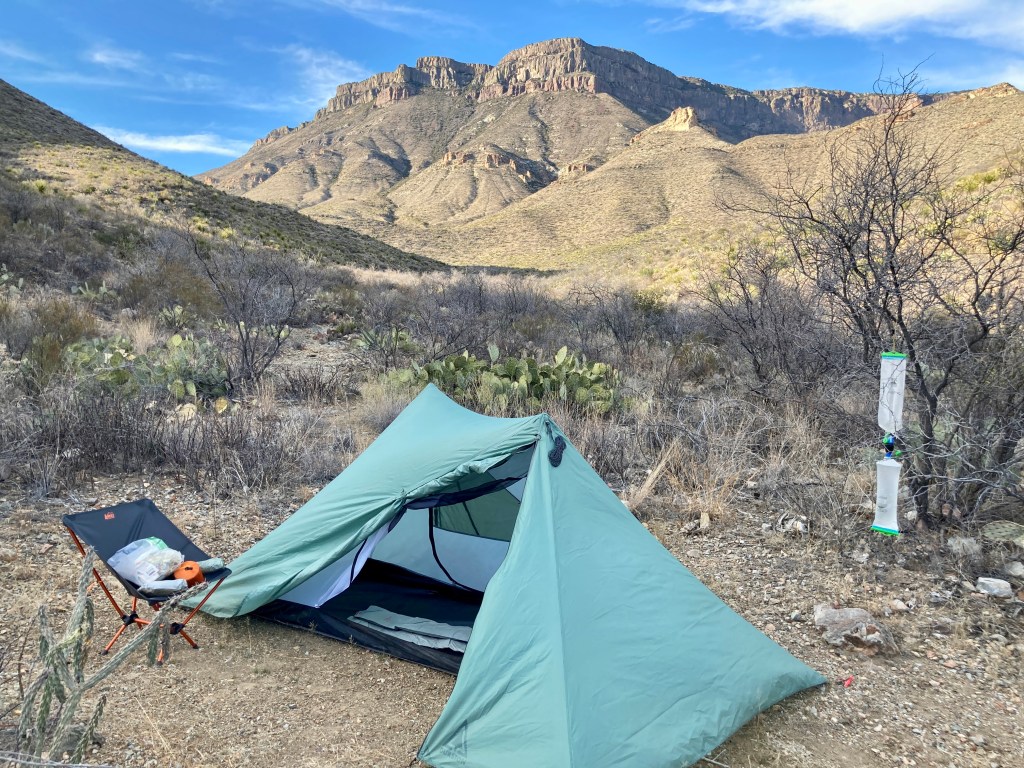
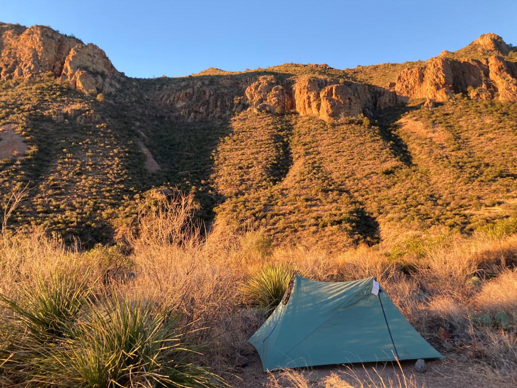
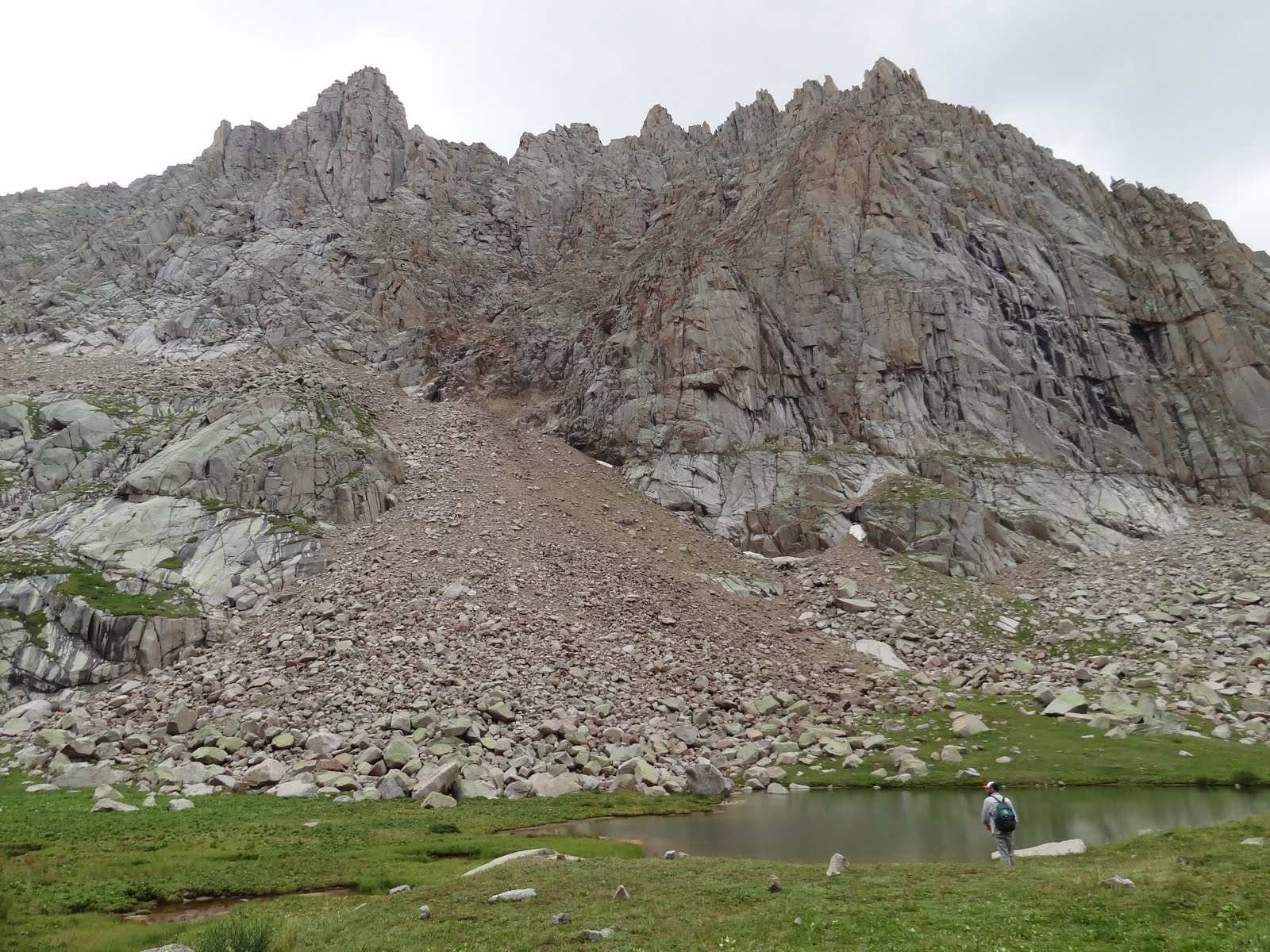
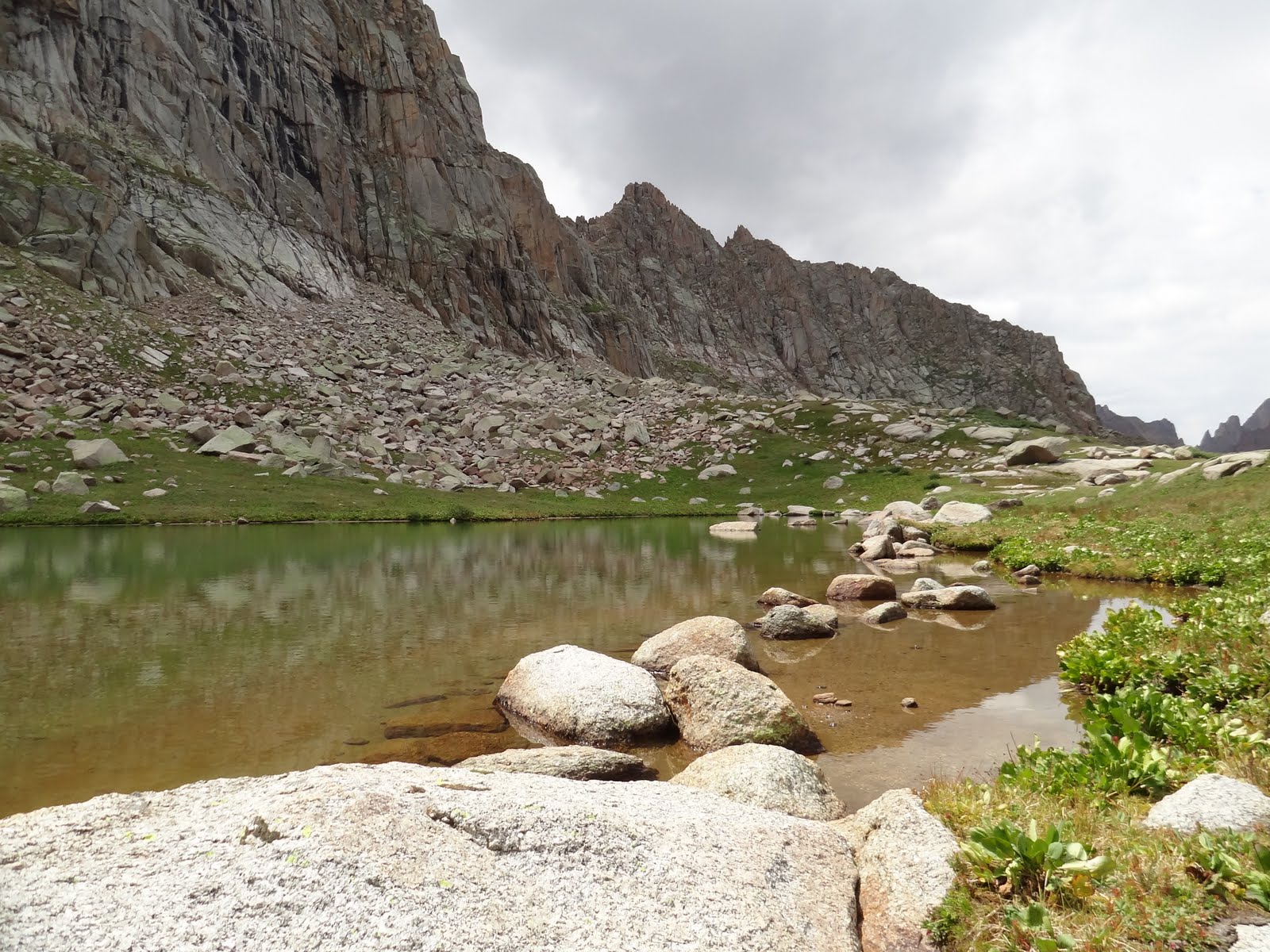
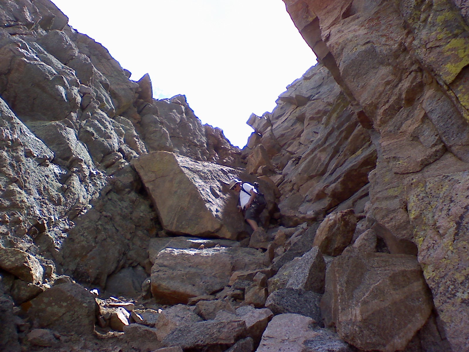
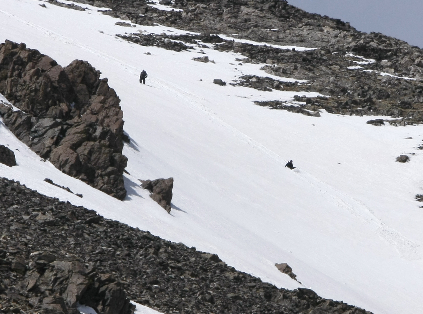
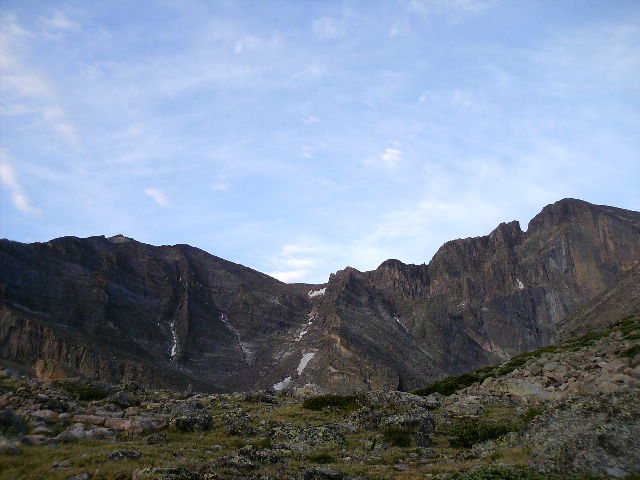
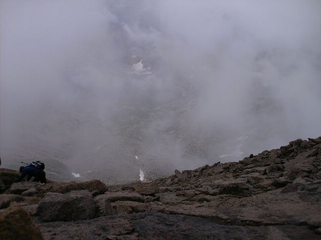
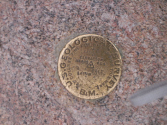
The day I began my hike, I headed up the Pinnacles Trail around 9:30am, onto Boot Canyon Trail, and reached my campsite on the East Rim of the Chisos Mountains around 1pm. After setting up camp and settling in, I realized I had forgotten my contacts and glasses. I had no choice but to alter my itinerary and head back down the mountain the next morning.
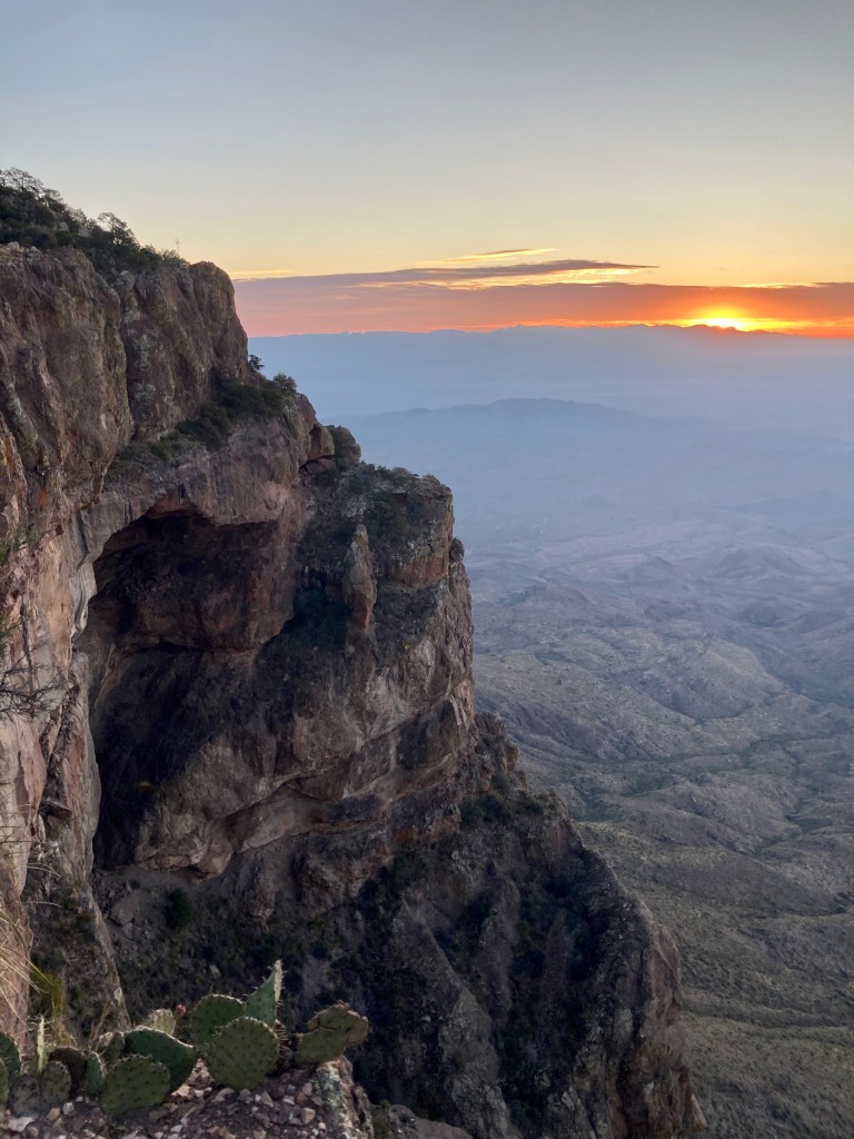
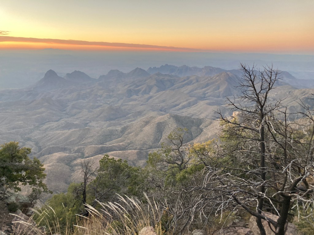
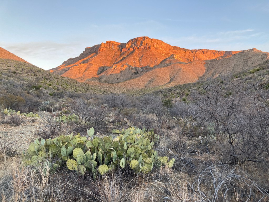
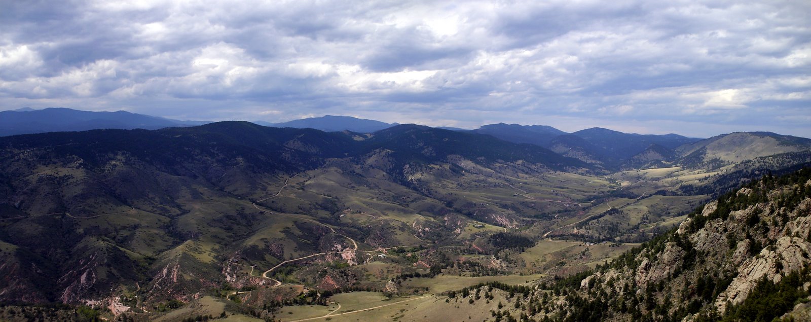
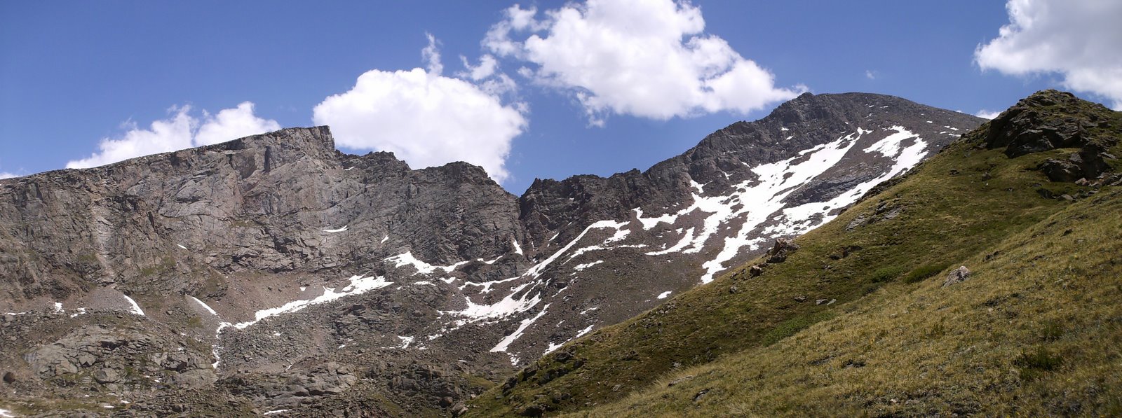
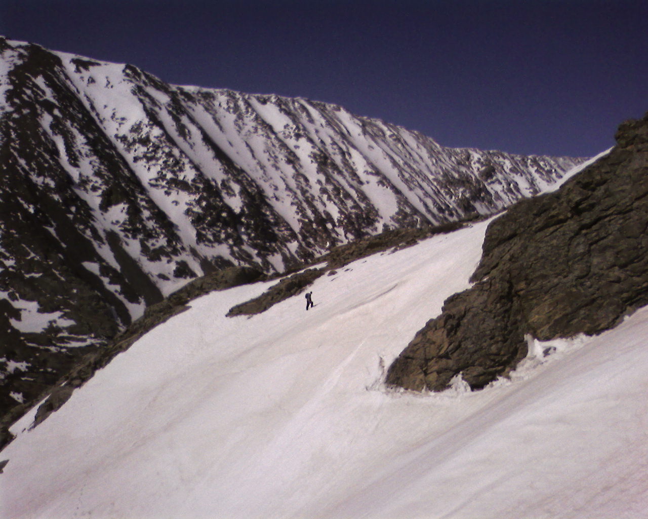
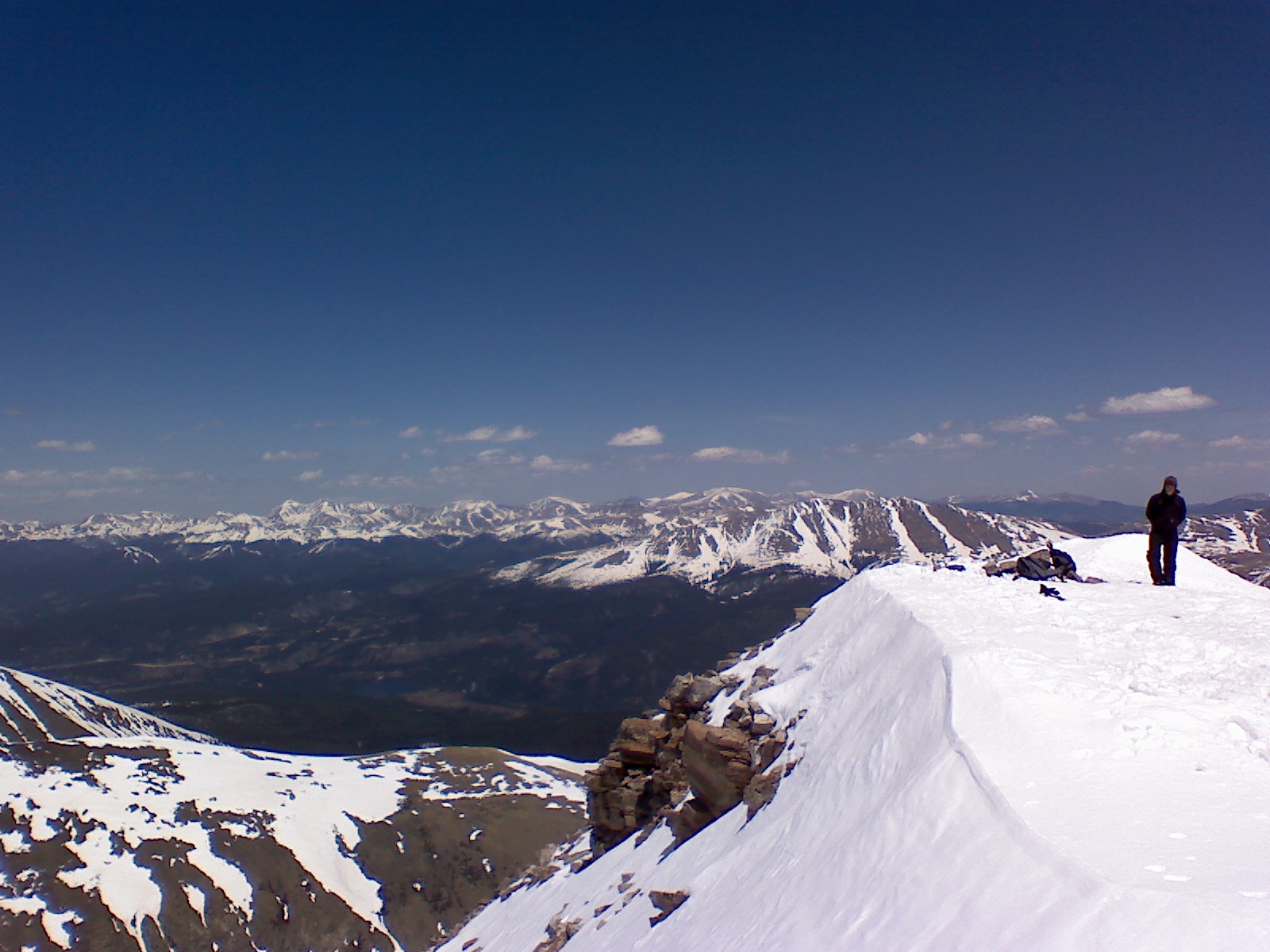
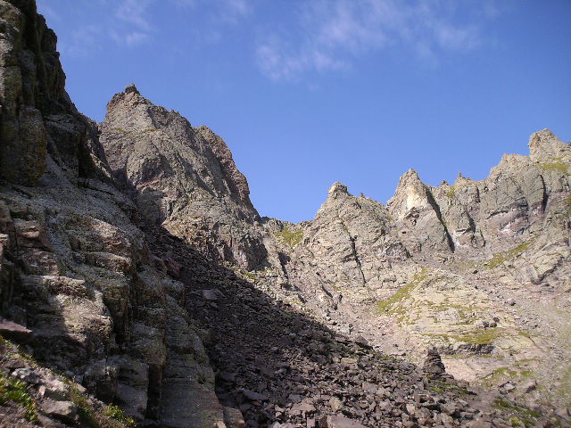
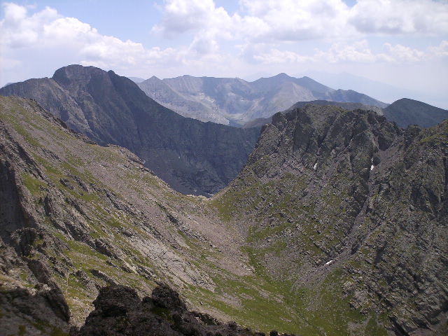
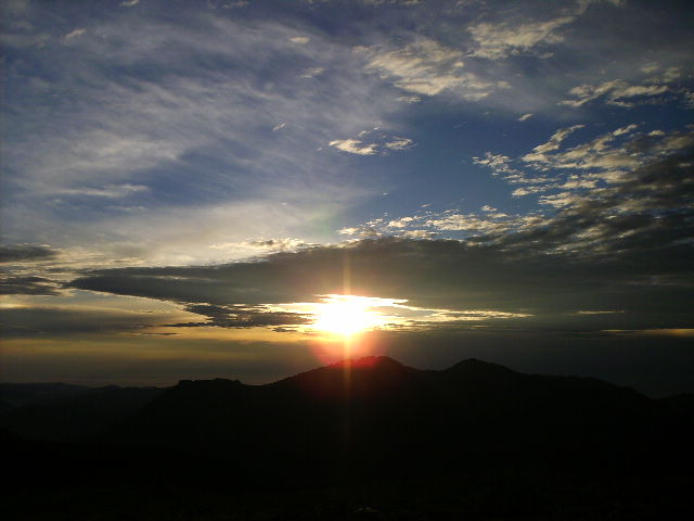
When morning came, I broke camp quickly and substituted trail snacks for my usual hot breakfast. I was on the trail at sunrise and decided to take the long way down. I traversed the entire South Rim of the Chisos Mountains, taking in the glorious views of the sunrise over the desert, and descended Laguna Meadows back to the basin. After reaching my van and grabbing my glasses and contacts, I topped off my food, fuel and water and headed to Homer Wilson Ranch to begin the Outer Mountain Loop.
Staying on schedule was more important now, after my blunder, and I was determined to hike until 4:30pm or I reached Fresno Creek. I heard reports from the ranger that there were scattered pools of water at the creek, but since this is the desert, one can never be sure. The availability of water here was critical to my hike, and its absence would mean that I would have to turn back. Fortunately, I arrived at Fresno Creek at 4pm and was delighted to find some water. After setting up camp for the night, I filtered some water and relaxed. The pressure was off and the longest day of my hike (13.5mi) was behind me.
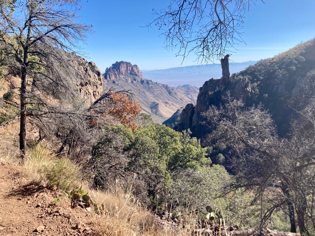
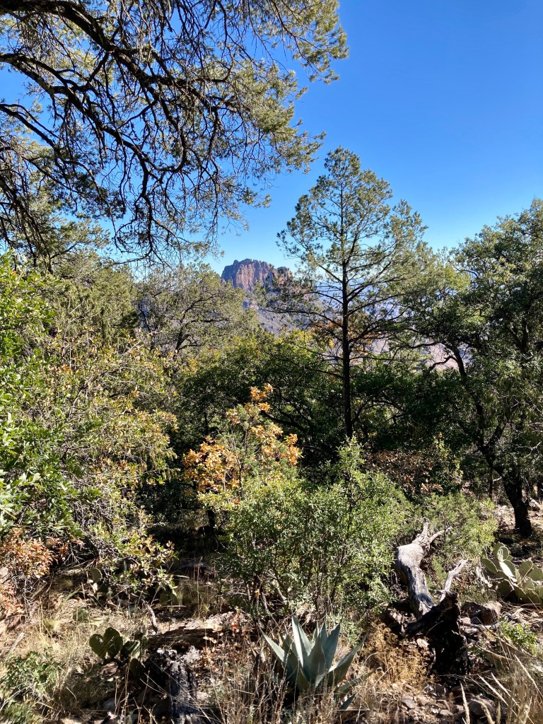
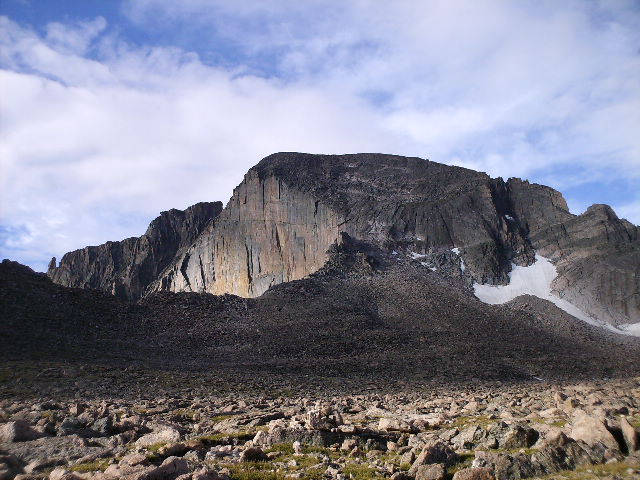
In the morning, after breakfast and topping off my water, I hit the trail, headed across the desert and back toward Juniper Canyon in the Chisos. I made it to the bottom of the canyon by mid-afternoon and settled in for the night. My excitement was high, since I knew I was close. Just one more climb back into the Chisos Mountains and the rest would be down hill.
Morning came and I completed my camp chores with purpose and determination. I was eager to get back on the trail. Today would be the day I finished my hike, and the cold beer I left in the cooler of the van was beckoning.
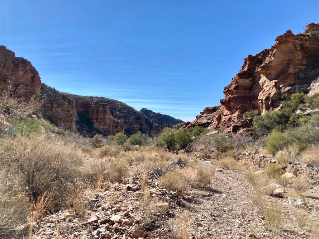
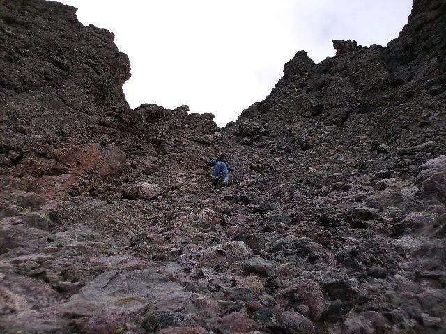
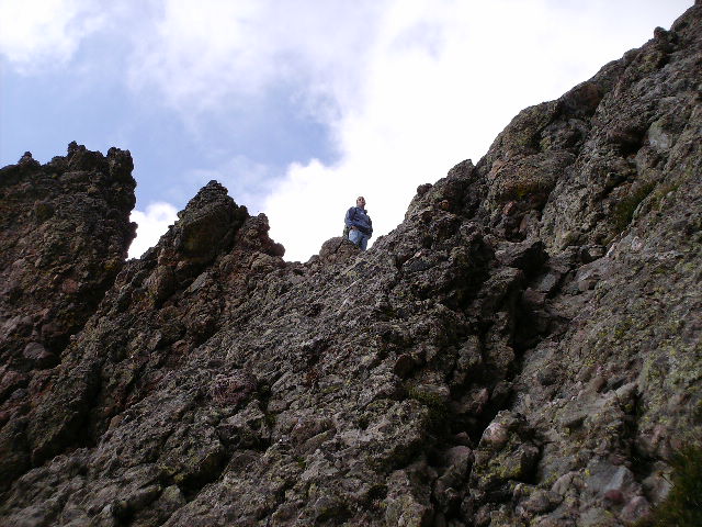
Everyone I spoke to warned me of the steep grade and strenuous nature of hiking Juniper Canyon. The NPS recommends hiking the Outer Mountain Loop clockwise to avoid climbing the canyon. I found these worries to be overblown and reached the summit of the canyon in under two hours. I was elated. I still had several miles to hike, but all the tough grinding was now over. I could zone out on the downhill and take some extra moments to explore a bit off trail.
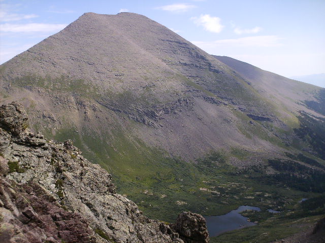
After hiking through the Chisos one last time, I found myself at the top of the Blue Creek drainage. Five and a half miles left and I’d be back at Homer Wilson Ranch. After descending the mountainside, I entered the dry creek bed. Hiking here was more difficult than I expected – the loose gravel can be tiresome on your feet and legs – but I was glad to be going down it, rather than up it. I was convinced I took the best route by traveling counter clockwise.
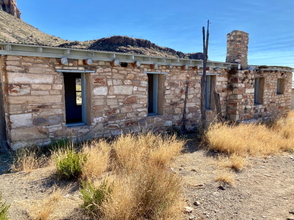
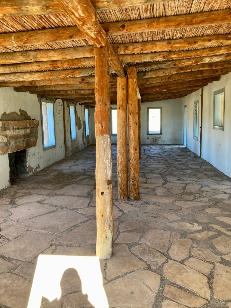
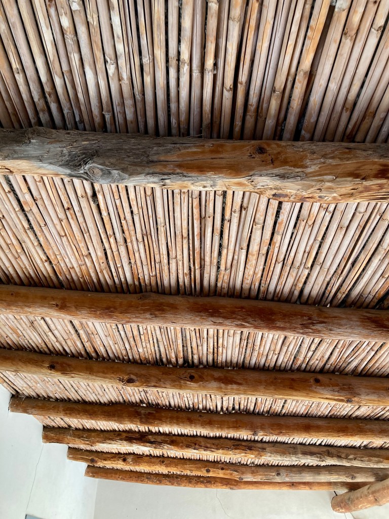
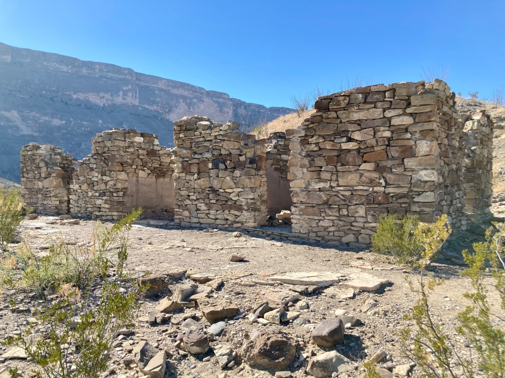
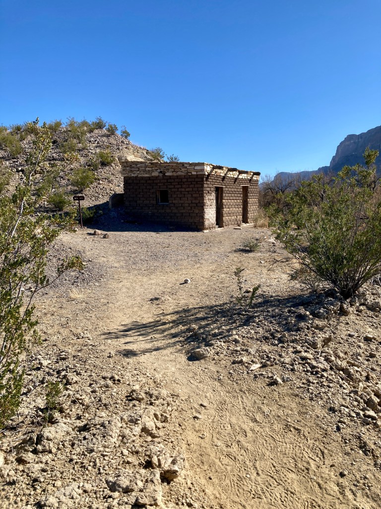
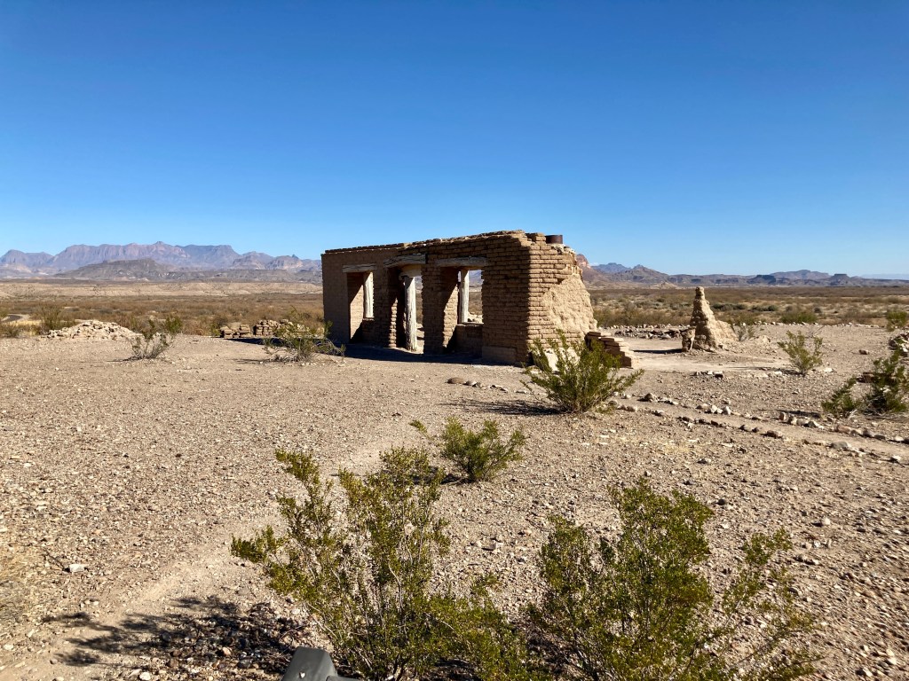
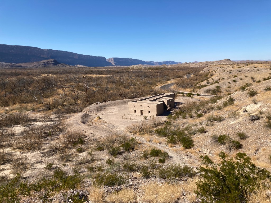
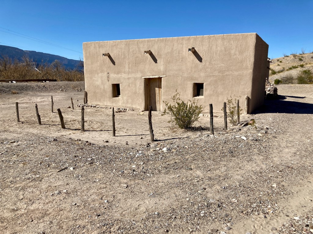
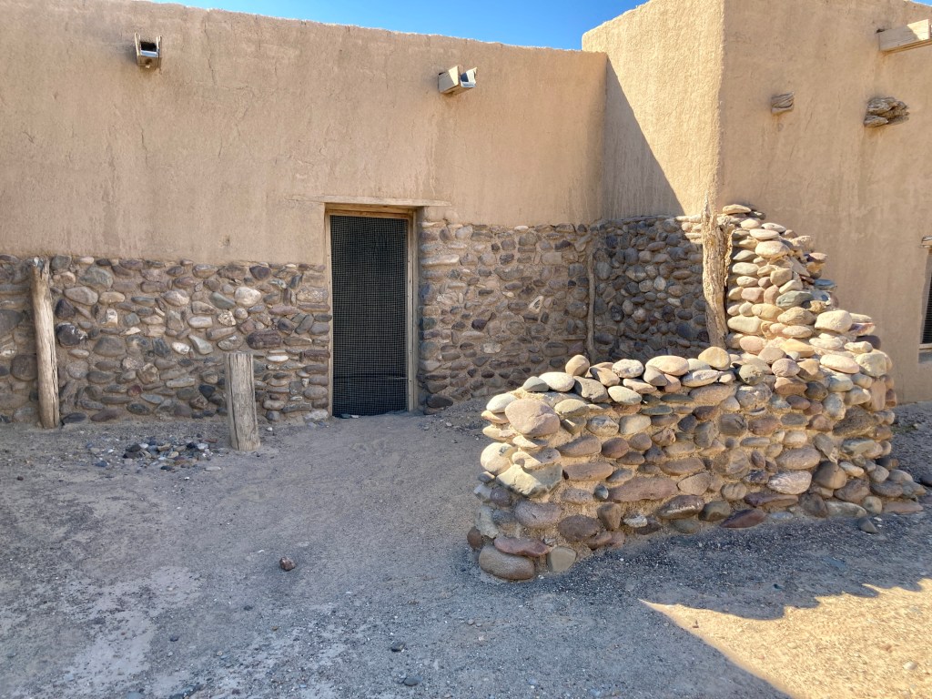
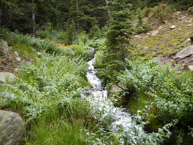
Along the way down Blue Creek, I stopped to explore some old ranching ruins – eroding foundations and some relics from a corral. Once I reached the bottom of Blue Creek, I took an opportunity to check out Homer Wilson’s place. I imagined what it must have looked like in its heyday 100 years ago, with the sites and sounds of the creek rushing by and lush greenery all around. Homer Wilson picked a great spot to build his homestead.
From the ranch, I started the short climb back to the parking lot with renewed vigor and I reached the van with a great sense of accomplishment. I achieved what I had set out to do. That is why I hike. I celebrated with a cold beer and reveled in the memories of the past four days.
That night, I had a steak dinner at the Chisos Mountain Lodge and a good night’s sleep in my van at the campground. Tomorrow I would pick up a few souvenirs at the visitor’s center and drive home. Big Bend is a vast wilderness and I felt I had seen more of it than most. Next time, I’ll explore the eastern side of the park and cross into Mexico for a day. Until then.
| Duration | 4 days |
| Distance Traveled | 40 miles |